Home
Company
Open menu
About Us
Career
Life At SATPALDA
Products
Open menu
Satellite Imagery
Maxar
Imagery Products
Imagery BaseMap
3D Products
MGP Pro
Blacksky
Axelspace
Synspective
SAR Imagery
Analytic Solutions
3D Landscape
AerodromeMapping Database (AMDB)
Services
Open menu
Web GIS
LiDAR
Topographic Mapping
Drone Mapping
LandUse/Cover Mapping
Land Subsidence Mapping
GIS
PHOTOGRAMMETRY
SURVEYING
BIM
AI/ML
DIGITAL TWIN
Remote Sensing
Sectors
Open menu
Land & Infrastructure
Defence and Security
Energy
Environment
Agriculture
Water & Irrigation
Resources
Open menu
Blogs
Case Studies
Sample Data
Gallery
FAQs
Newsletters
Contact Us
Blogs
Home
Blogs
admin
April 30, 2025
The Role of Artificial Intelligence and Machine Learning in Modern Geospatial Analysis
admin
April 09, 2025
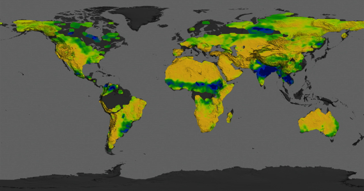
Understanding Delhi’s Vegetation Dynamics: A GIS and Climate Perspective
admin
January 20, 2025
Mapping the Deep: Using Satellite Imagery to Study Ocean Currents and Climate
admin
December 17, 2024
The Role of Digital Terrain Models in Modern Geospatial Analysis
admin
December 17, 2024
Top 9 Industries Transformed by High-Resolution Satellite Imagery
admin
December 17, 2024
How the Advantages and Disadvantages of Remote Sensing Shape Modern Technology
admin
November 12, 2024
What is Geospatial Technology?
admin
November 12, 2024
Cadastral Map
admin
November 12, 2024
Satellite Imagery
admin
November 12, 2024
What is Land Use Mapping?
admin
November 12, 2024
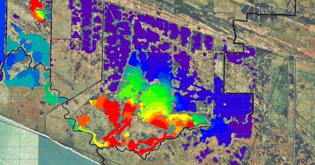
Soil Mapping
admin
November 12, 2024
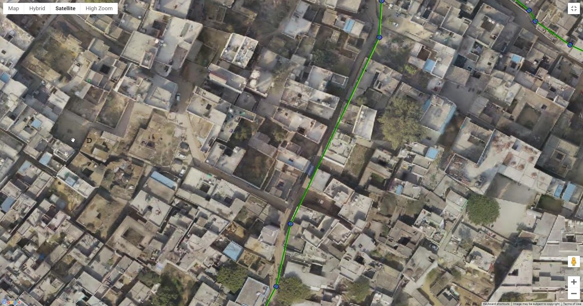
How to Get a Current Satellite View of My Property?
admin
October 12, 2024
Agricultural Imagery
admin
October 12, 2024
Agricultural Mapping
admin
October 12, 2024
Space Imaging
1
2
3
…
16
»
WhatsApp us