Author: admin

  • Home
  • Author: admin

Importance of Satellite Images

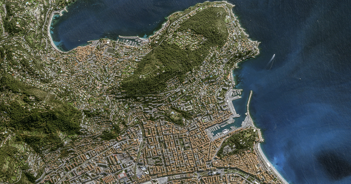
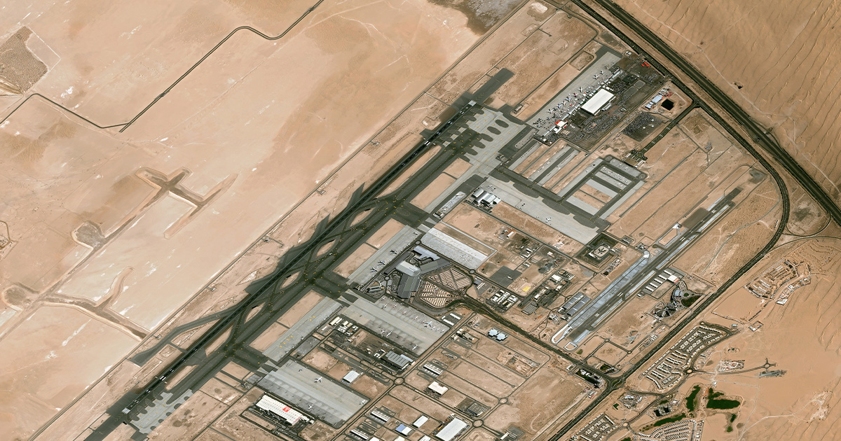
Satellite imagery provides an aerial perspective of the Earth’s surface and is a fundamental component of GIS where these photos are obtained by satellites with sophisticated sensors that can record information at different wavelengths. Different forms of imaging such as panchromatic, multispectral and hyperspectral are categorized to meet different analytical purposes. The capacity to gather,… Continue reading Importance of Satellite Images

Applications of Satellite Imagery

The term “satellite imagery” describes the non-visual or visible data gathered by Earth observation satellites as they orbit the planet and with the use of sensors that record electromagnetic radiation at visible, infrared and microwave wavelengths, these satellites can provide a thorough picture of the surface of the planet. The main objective of obtaining satellite… Continue reading Applications of Satellite Imagery

MAXAR Imagery

There has been an exponential increase in the need for reliable and high-resolution satellite images in the dynamic Geographic Information Systems field and with its cutting-edge capabilities for Earth observation, MAXAR a major player in the satellite imagery market has made a name for itself. The technical nuances of MAXAR imagery are explored in this… Continue reading MAXAR Imagery

BLACKSKY

Technological developments are a major factor in how we collect, process, and interpret data in the dynamic field of geospatial intelligence. Blacksky, one of the most recent innovations in the area, redefines the limits of geospatial intelligence by utilizing cutting-edge GIS (Geographic Information System) technology. The complexities of BLACKSKY are examined in this article, along… Continue reading BLACKSKY

AXELSPACE

AXELSPACE is a trailblazer in the field of Earth observation, using cutting-edge Geographic Information System (GIS) technology to transform how humans view and engage with our world. This article explores the technical details of AXELSPACE, including its impact on Earth observation, the importance of GIS in the space business, and its technological prowess. The core… Continue reading AXELSPACE

Unearthing the Future: The Vital Role of Remote Sensing and GIS in Mining

Mining has been a cornerstone of human progress for millennia, providing essential resources that power our modern world. However, the extraction of these valuable minerals and ores often comes at a cost, with environmental and safety concerns looming large. As society places increasing emphasis on sustainability, the mining industry finds itself at a crossroads, seeking… Continue reading Unearthing the Future: The Vital Role of Remote Sensing and GIS in Mining

Uncovering Transformations Through High-Resolution Satellite Imagery

In an ever-evolving world, the ability to monitor and analyze changes across various domains is of paramount importance. From tracking environmental transformations to managing urban growth and responding swiftly to disasters, change detection plays a crucial role, and its significance lies in its capacity to uncover shifts, trends, and anomalies that offer critical insights for… Continue reading Uncovering Transformations Through High-Resolution Satellite Imagery

Unveiling the World of 3D Landscapes: Creating Realism Digitally

In today’s digital age, the realm of creative possibilities knows no bounds. It’s a time when innovation and imagination harmonize to fashion real-like virtual worlds that blur the lines between fiction and reality. One such captivating realm is that of 3D landscapes, where a mere glance at the screen transports you to breathtaking natural vistas,… Continue reading Unveiling the World of 3D Landscapes: Creating Realism Digitally

DigitalGlobe joins hands with Uber

Uber will soon deploy DigitalGlobe`s high-resolution imagery to improve its pickup and drop facilities. DG has entered into a multiyear global partnership with Uber to supply the company with high-resolution satellite imagery. Over the past few years transportation app like Uber has revolutionized the cab experience, making the experience as simple and comforting as possible.… Continue reading DigitalGlobe joins hands with Uber

Explore the unexplored with DigitalGlobe`s GBDX

21st century is a digital world. Almost everything that is quantifiable leaves a digital trace. Although apparently it looks like it is invisible but in reality every day we are adding massive amounts of data to our data inventory all around the world. But very accurate knowledge is required to analyse this data and extract… Continue reading Explore the unexplored with DigitalGlobe`s GBDX